

UCLA
Remote Sensing
Vegetation Change
Vegetation Change
Vegetation Change
USING REMOTE SENSING TO
EXPLORE THE EFFECTS OF THE YEMEN WAR
Since 2015, the Yemen War began as an ongoing conflict between the Houthi rebel militia and the Saudi-led coalition (aiming to restore the Yemeni government). The Houthi-led Supreme Revolutionary Committee has taken control of the capital Sana'a and is mobilizing their control into southern provinces. Attacks and bombings have been carried out by the Saudi coalition, as well as Al Queda and ISIL.
The bombings have had devastating effects on Yemen's civilian population. Over 10,000 Yemeni have been killed from the fighting. The Saudi led coalition's (Operation Restoring Hope) aerial bombing campaign in Yemen against the Houthi insurgency has been targeting Yemeni agricultural fields and infrastructure since the beginning of the war. This has caused what could become "the worst famine in the world in 100 years." The war has left many visible scars on the Yemen land. We will research changes in night light and agricultural land through satellite imagery.
YEMEN WAR
2015-PRESENT
WHAT IS REMOTE SENSING?
Remote Sensing is the study of an object without coming in direct contact with it.

We will be using satellite imagery. Specifically, Suomi NPP/ VIIRS via NASA Earth Observatory
and Landsat 8.
PROJECTS

Nightlight change
Our study evaluates military bombing using night time light signatures. We examine the city lights of Sana’a before (2012) and immediately after the start of the Yemen War (2016) to observe its effects on the urban landscape. In other words, we will assess the degree to which neighborhood nighttime light signature has changed during the duration of the war.
Research Question: How has the war in Yemen impacted night light cover?
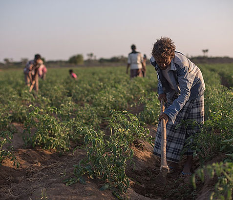
Agricultural change
Our study attempts to fill this gap in the analysis of the conflict, by using landsat imagery at various times throughout the conflict to measure the extent of Yemen’s agricultural cultivation, hopefully demonstrating conflicts effect on the country’s farming.
Research Question:
How has the extent of cultivation changed in Western Yemen during the Civil War?
How has the health of Western Yemen's agriculture changed during the Civil War?
MEET THE TEAM
UCLA Department of Geography

Alondra Orn

Alex Ferrer

Tory Coffin

John Forester

Amanda Napoli

Zheng Jing